Editor’s note: This article is by Lou Varricchio, editor of The Sun. It is republished here with permission.
Now a National Historic Landmark, Vermont’s Mount Independence is the largest military fortification in the northern U.S. In scale, it even eclipses the more famous Fort Ticonderoga across the narrows of Lake Champlain from the Orwell site.
The Mount, a heavily forested Orwell locale is situated to the west of Route 22A along the Lake Champlain cliffs. It is Addison County’s most historic colonial-era site.
A massive star-shaped fort was built atop the Mount along with gun batteries and a dock where lake vessels brought supplies and guns.
Mount Independence presented a formidable obstacle to an invader from Canada. If Fort Ticonderoga across the narrows as the Gibraltar of North America, Mt. Independence was the Maginot Line.
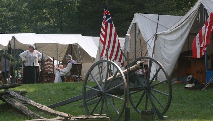
“At the height of the American fortification of Mount Independence, the site was occupied by three brigades of New England troops or more than 6,000 men.”
A book, titled “Strong Ground: Mount Independence and the American Revolution”, tells the complete story about Vermont’s role in the War for Independence. The book, which was first published several years, is popular and remains in print.
Written by Don Wickman and members of Mount Independence, the colorful book contains beautiful, detailed illustrations by artist Gary Zaboly. The volume brings to life, through words, art, maps, and photography, the pivotal role played by Fort Independence atop the mount.
From July 1776 into July 1777, the fate of the newly independent United States of America rested upon a rocky peninsula on the east side of Lake Champlain, according to Wickman.
“The Americans on the Mount turned back a British invasion in the fall of 1776. Like the men at Valley Forge a year later, they suffered from cold and privation during a winter encampment,” he said.
“At the height of the American fortification of Mount Independence, the site was occupied by three brigades of New England troops or more than 6,000 men, which were reinforced by temporary militia from Massachusetts, New Hampshire, and the New Hampshire Grants (the territory that was to become Vermont). Numerous huts and barracks housed these troops,” according to “Strong Ground”.
The author said he spent more than a year working on “Strong Ground” and he had lots of assistance, especially from Steve Zeoli, president of the Mount Independence Coalition. He is a former caretaker of the Mount and himself the author of a visitor’s guide about site.
After all that has been written about the lives of patriots lost in building and defending this hallowed ground in the wilderness, it’s interesting to think that the Mount was once considered as a site for an atomic power station.
During the 1960s, the Vermont Electric Power Company proposed, half-seriously, building the Independence Nuclear Power Station atop Orwell’s Mount. The VELCO proposal was withdrawn after concerns were aired by anti-nuclear activists.
Mount Independence State Historic Site is located at 497 Mount Independence Rd. in Orwell. To reach the site, at the intersection of Routes 22A and 73 in Orwell, turn west on Route 73. Take the first left onto Mount Independence Road. Mount Independence Road will turn to gravel; follow the road to the left up a hill. The parking lot for the historic site is on the left at the top of the hill.


